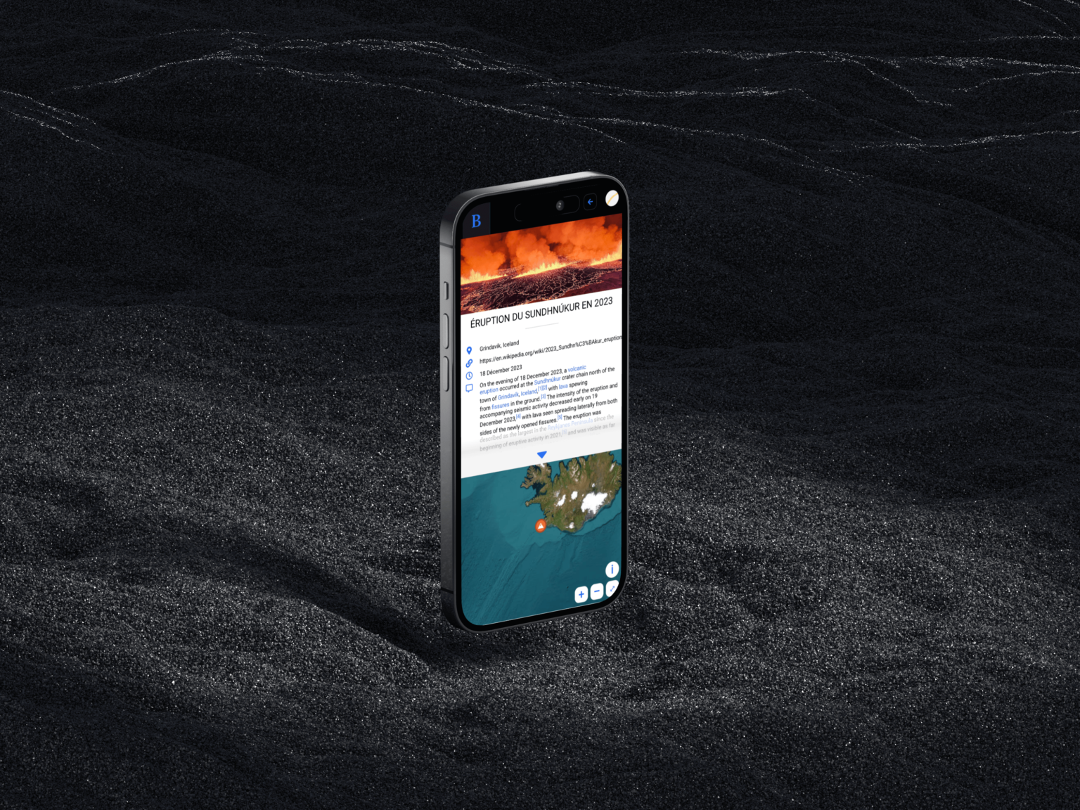
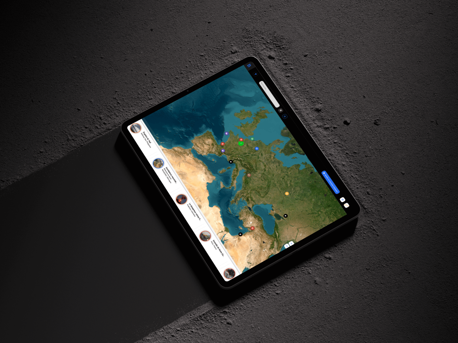
The world frequently experiences unprecedented and significant disasters: earthquakes, tsunamis, nuclear accidents, tornadoes, floods, etc. There was a need to list them on an interactive map.
Challenge
The challenge of this project is to provide the media with an accurate vision of ongoing events around the world by enabling on-site witnesses to publish geolocated photos directly onto a map.
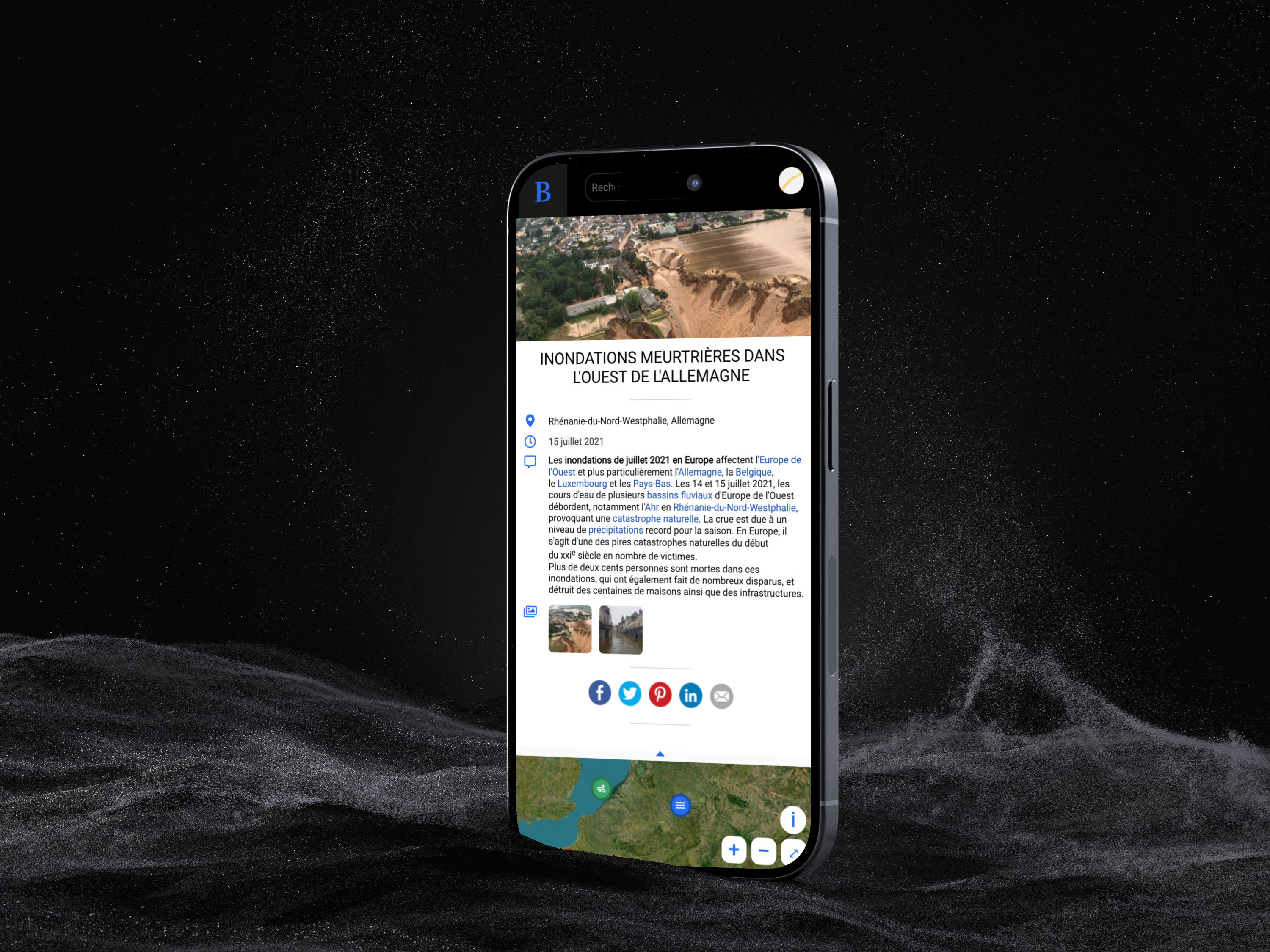
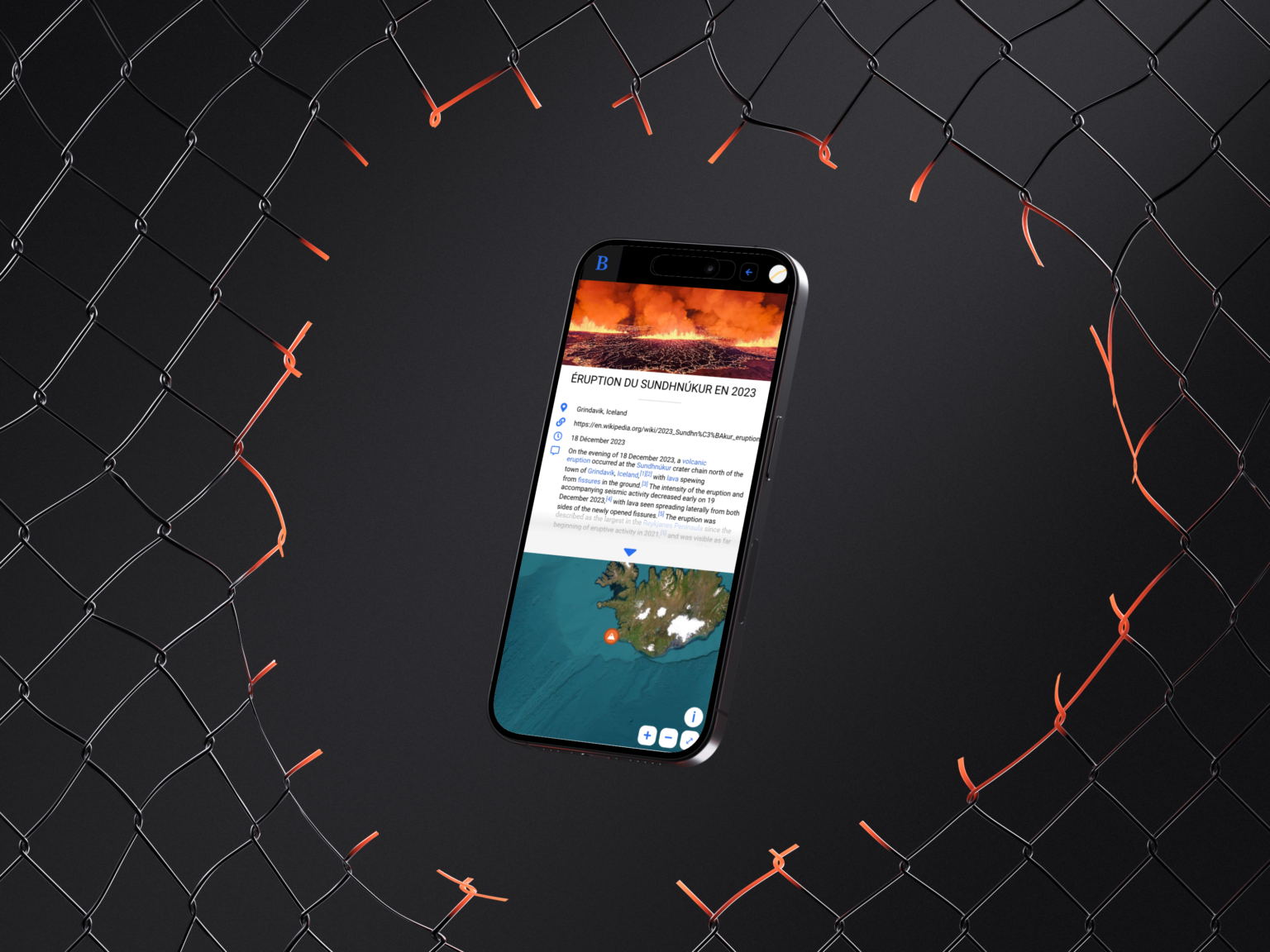
This app features a dynamic, easy-to-use map that includes classification through pictograms, color codes, and marker clustering. It offers a smooth navigation experience with a dynamic carousel, ergonomic navigation, and a responsive app design.
Users can utilize dynamic filters, a search bar, and various display styles for efficient data access. Additionally, the content aspect includes a form for adding new entries, media upload capabilities, and an informative panel.
Goal
An interactive map that consolidates all kinds of events in one place: natural disasters, human accidents, armed conflicts - accessible to everyone.
Nature
🌋 Volcanic Eruptions
🌪️ Storms
🌊 Tsunamis
🏚️ Earthquakes
☣️ Epidemics
Pollution
☢️ Nuclear Accidents
🛢️ Chemical Leaks
🚢 Oil Spills
Conflicts
🏴 Wars
💣 Terrorist Attacks
After that
A humanitarian and collaborative project designed to assist disaster victims and convey the state of affairs to the rest of the world, fostering global understanding and support.
The project’s goal was to empower individuals worldwide to update a news stream with information and photos about specific events, pinpointed by their location. The ultimate objective was to create a system that supports targeted fundraising for each reported event.
Stay Informed, Contribute, and Spread Awareness: Our World, Ours Acts
